Niraj can you suggest a sahyadri trek with no crowds on weekend ? Well how about a trek with no crowd and no trail. In the Beatrice cliff trek you walk through a jungle, then through a dry river bed & then through a waterfall gully / nalla. There is absolutely not a single soul on this trek. Infact during the trek you actually wish if someone could just confirm your route. The Beatrice cliff trek OR “Kalokhya Khindichi Vaat” ( काळोख्या खिंडीची वाट ) is the most offbeat Matheran trekking routes with the highest level of difficulty. This Beatrice cliff blog will be your trek guide to plan this trek yourself. Similar adventures like this one at the end of the post.
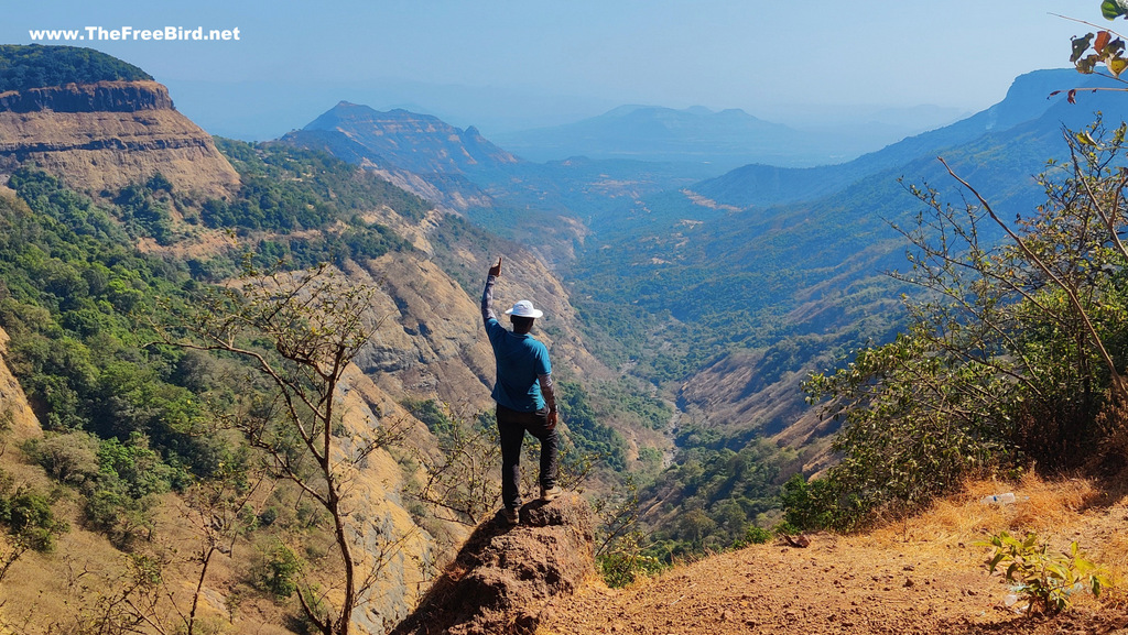
Matheran is one of the most famous hill stations in India where vehicles are not allowed. Normal tourists reach Matheran via the Neral toy train or just drive on the normal road to reach Dasturi Naka ( which is the entrance point of Matheran). These tourists then visit different view points of Matheran by walking or on a horse. However adventure lovers like me love to reach Matheran by trekking from base village to these view points & then descend by some other point or return from Dasturi Naka.
How long is the Beatrice Cliff trek ?
Niraj, how much time does it take to complete this Beatrice trek to Matheran? The Beatrice cliff point from Katwan is about 11kms and easily takes about 5-6 hours. The interesting thing about the trek is that you can see the gully right from the Katwan village but even after walking for couple to hours the gully appears to be at the same distance. If are not going to get your bike on the offroad road to Katwan then its additional 90 minutes of walking from Pokharwadi.
Is Beatrice trek difficult for beginners ?
Beatrice trek is difficult for experienced trekkers. There is no hard core rock climbing but there are few rock patches in between and the end which requires some rock climbing skills. Plus the rock structure keeps on changing after every monsoon meaning no can predict the exact difficulty. Add to it the long distance/time of trekking makes is a DIFFICULT trek. If some one wants to climb up this waterfall route in monsoon, good luck with that.
What is the best time for Beatrice Cliff Trek ?
Being a waterfall route the only non risky time to do this would be winter & summer. Due to the long exposed nature of this trek I would suggest it for winter time. If you plan to do this in summer I would suggest you start extra early with lots of water. Trekking here in monsoon is extremely risky & idiotic due to the risky & slippery conditions and for the chance of rock fall.
Trek pe khaane ko kya milega ?
There are no shops at Katwan.Since this trek is very offbeat home made food available at other sahyadri treks is not available here easily. You can request some locals for food but it all depends on your luck. Once at Matheran top plenty of food options are available. ( checkout my trek food & trek gear )
Matheran Range Trek Idea
Many Matheran points are trekkable. These points include One Tree Hill Pt. from Ambewadi, Rambaug Pt via Dhanwadi, Alexander Pt via Katwan, Beatrice Pt via Katwan, Sunset Pt from Dhodani, Garbett Pt from Bhivpuri, Malang pt via Hashyachi Patti, Pisarnath Ladder route via Umbarnewadi, Peb fort from Anandwadi. So for doing a range trek you can trek to any of these points and then descend to another point. If some of you are tired after the ascend they can simply skip the remaining part of the range trek by taking a taxi from Dasturi Naka ( Matheran’s entrance). My personal choice is to select Garbett for descend since it is better connected with railways for going home easily after a tiring Matheran range trek.
For Beatrice trek one can plan this trek in many ways, but If you have your personal vehicle I would suggest to reach Pokharwadi/ Burujwadi walk to Katwan trek to Beatrice & then climb down via alexander/ Madhav point to Katwan OR via Rambaug Point to Pokharwadi
How to reach Katwan for Beatrice Cliff Trek from Mumbai & Pune?
You can reach Katwan which is the base village for Beatrice Cliff trek complete the trek & walk further to the start of Matheran @ Dasturi Naka & take a shared taxi to Neral railway station and head home OR after reaching the top descend to Katwan from other Matheran points mentioned above.
Nearest Railway Station is Karjat
Base Village for Beatrice Cliff Trek is Katwan
Karjat > Borgaon Phata > Pokharwadi>Burujwadi > Katwan > (Trek to) Beatrice Cliff
Update 2023: There is very good road till Pokharwadi. Earlier one needed to start trekking from Pokarwadi to Katwan ( 5.5 kms). Now a road is built till Burujwadi. So after Pokharwadi >Dhanwadi >Burujwadi is now doable . From Burujwadi the road gets completely offroad. And it would be better to walk from Burujwadi to Katwan (3.5kms) unless you have a bike like me.
Shared Public Transport to reach Katwan
- By Road to Borgaon Phata: For guys coming from Mumbai side one can take the Karjat bus and get down at Borgaon phata ( Or reach Chouk and take rickshaw to Karjat and get down to Borgaon phata). Many ST bus & shared EECO ply on this route
- By Train: If you reach the Karjat Railway station. No direct Bus is available from Karjat to Pokharwadi but one can take any ST bus / Rickshaw from Karjat Station going towards Panvel/ Chouk / Rasayani which can drop you at Borgaon Phata for 10-15 Rs per seat ( 12 kms ) .
- From Borgaon phata There are EECO which run between Borgaon Phata to Ambewadi on hourly basis which can drop at Pokharwadi. In case the vehicles are not available one can walk 3.5 kms of scenic road to Pokharwadi enjoying the views of huge Morbe Dam.
- BEST OPTION is to reach Karjat station (if you are more in number) is to meet a rickshaw / tum tum driver and negotiate a drop till Pokharwadi or till Burujwadi which would cost around 350-400 for one way drop. One can also ask the same driver to come back to pick u up after the trek ( if you plan to go back to Karjat station again ). In case you end your trek at Matheran there are plenty of options available from Matheran to reach Neral railway station.
It should take about 45 minutes from Karjat station to Pokharwadi
Private Vehicle : Just add Burujwadi on Google Maps and enjoy this beautiful drive. Roads are newly made in Feb 2023. If you have a bike like me you can drive on the offroad till Katwan.
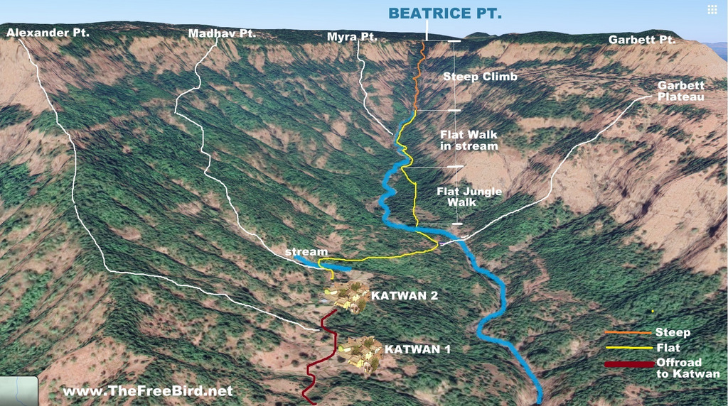
Beatrice Cliff Trek Route Map
Beatrice Cliff trek to Matheran: TheFreeBird’s story
As part of my personal #ProjectMatheran, I have already trekked to Matheran via Rambaug Point, Garbett , Peb fort, One Tree Hill , Sunset point , Hashyachi Patti & Pisarnath Trek. I wanted to finish all the trekking routes to Matheran as quickly as possible. Next in my line up was the most difficult trek to Matheran i.e. the Beatrice Cliff trek. This is just a walk through the dried water stream to reach the top hence its a given that the route changes after every monsoon so we didnt really know beforehand if the route is still doable or will have to return midway 😁. Instead of walking from Pokharwadi to Katwan. I decided to take my bike directly till Katwan & plan the descend to Katwan from either Alexander or Madhav point
On that day the weather was very clear and Matheran was clearly visible from the approach road. I could spot Matheran’s Garbett point, Little Chowk point & Big Chowk Point as seen below.
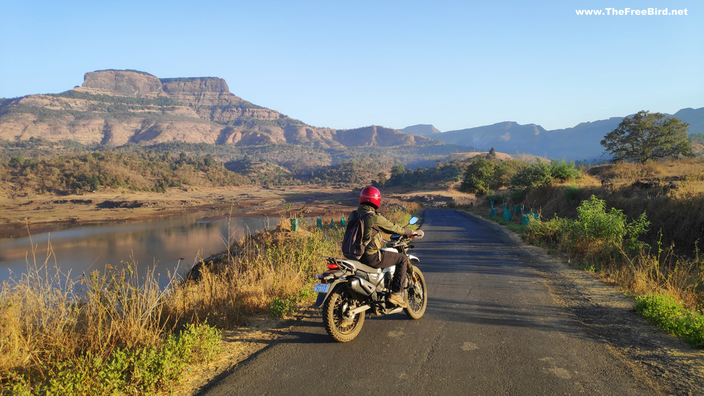
After Pokharwadi the road becomes a bit rough till Burujwadi. From Burujwadi till Katwan its a complete offroad. I am so glad with my decision to purchase Xpulse which is a best bike for a trekker like me. Burujwadi to Katwan should take about 40 minutes to walk. We completed it in 10 minutes
Just before Katwan the gully for Beatrice cliff became visible and it appeared way to close to be taking 5 hours. I felt we could do it in 3 hours & never have i ever been so wrong. Katwan is a base for many offbeat treks like for Beatrice, Garbett, Myra, Madhav & Alexander point. I planned to complete atleast 2 today.
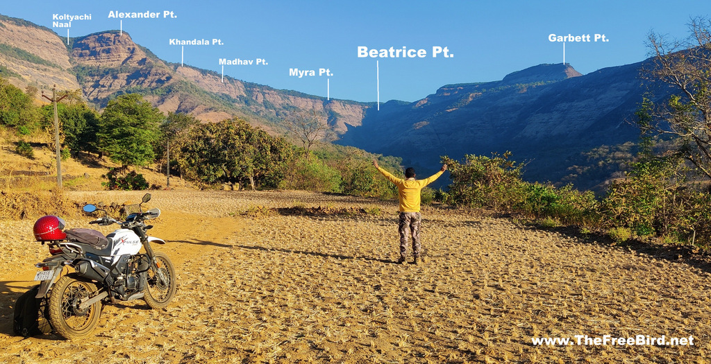
Katwan village is spread across two parts. I parked my bike at the second one & walked through the village which had the Beatrice cliff as a artwork in the background
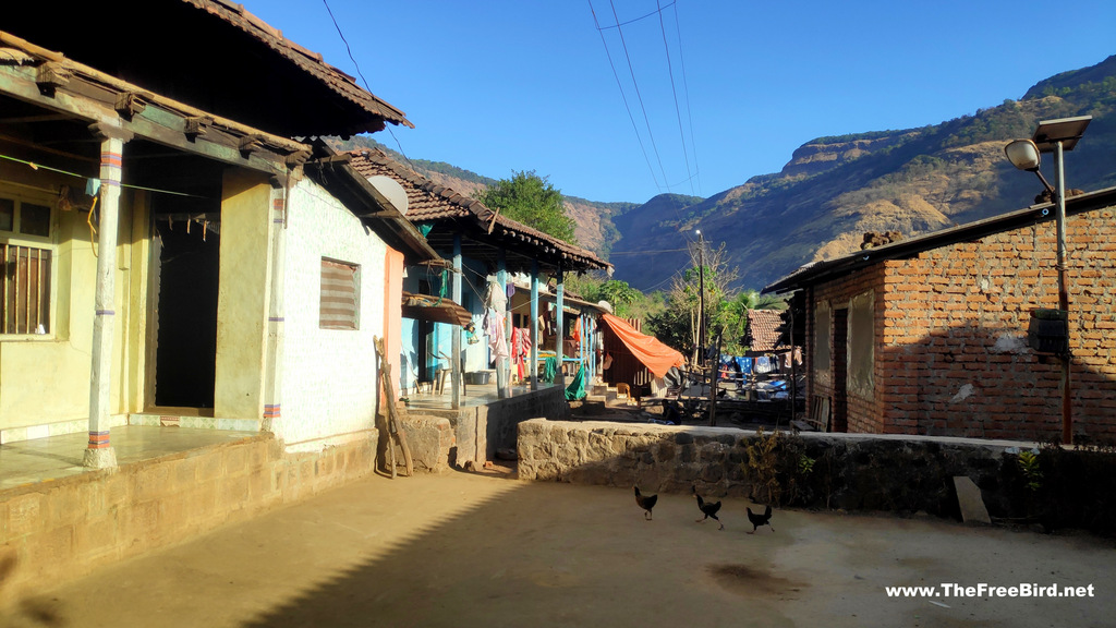
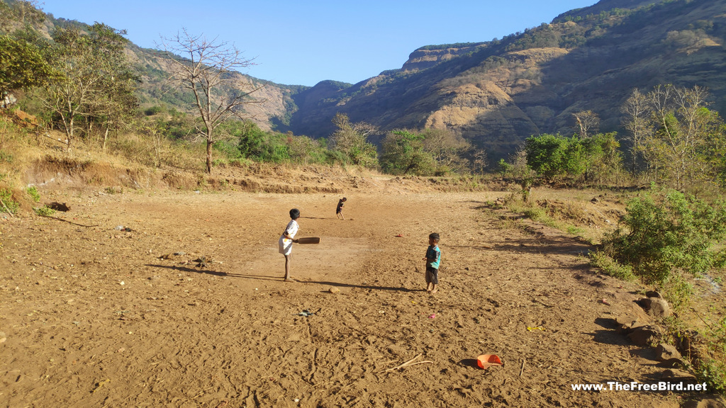
From the village we had to get down to the river for which we walked to a dry stream near the village and took a trail that led to the river
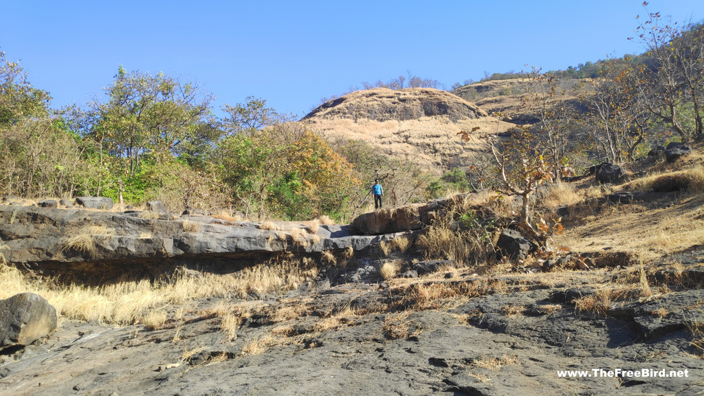
Walking across the stream is a really tiring & time consuming activity. Hence the important part of this trek is not walk in the stream right from the village itself. As I have mentioned in the route map at the top there is a initial jungle part which has a well marked trail which saves lots of time instead of directly walking in the stream. When we get down from Katwan to this river bed there is a trail split one goes to Garbett & other towards jungle. I missed the jungle trail & reached the river bed and had to figure out the way to the jungle trail. Fortunately after scrambling for a bit and moving in the direction of Beatrice we met the jungle trail .
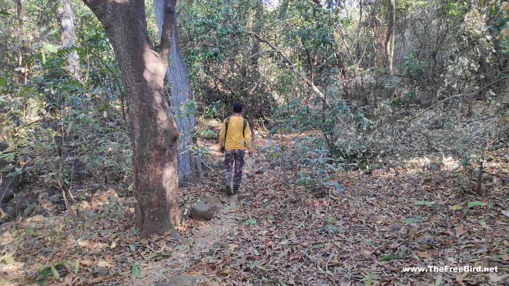
In half hour of this jungle trail we saved atleast 2 hours of walking in the river bed. The trail is well marked in this jungle. Once we completed this jungle part we finally reached the stream from where the time consuming trek through the river bed begun.
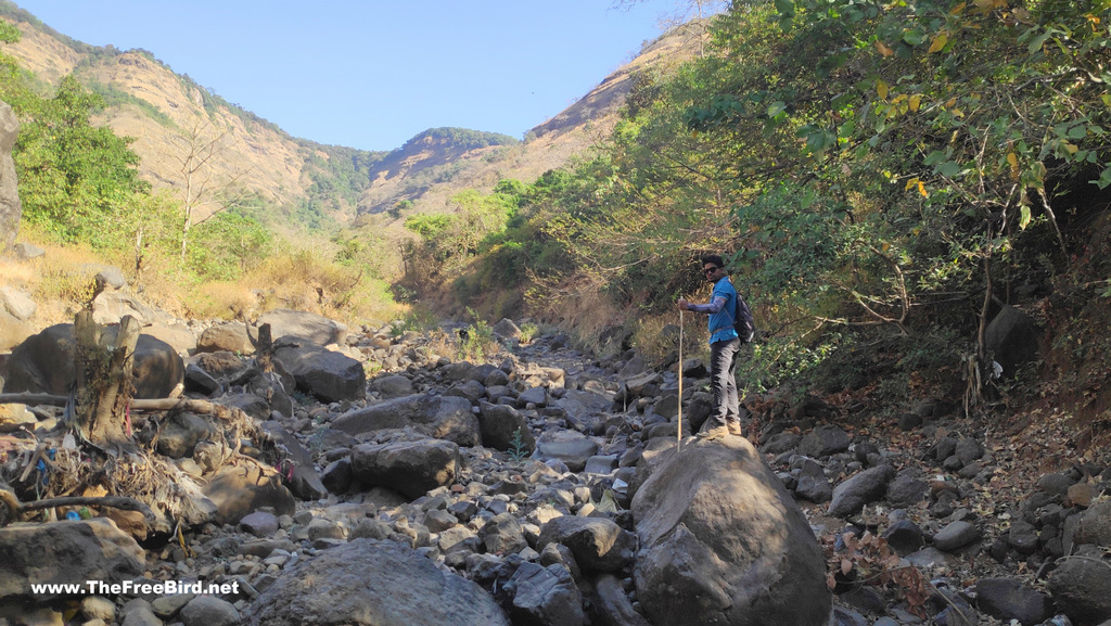
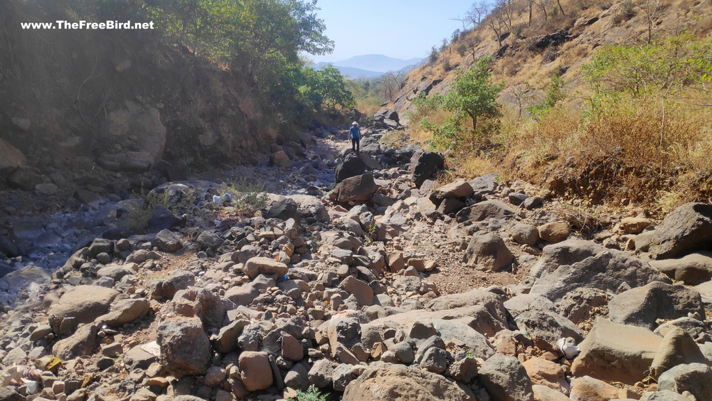
The rocks in the stream became bigger & bigger as we moved ahead. It may appear a bit troublesome to walk but it was cake walk and felt like a normal trail with many ups & downs. I could imagine the flow of water in monsoon & thought i should revisit this in monsoon if I find some like-minded trekker.
Soon we reached a stream curve from where the Myra point became visible. Some people take this waterfall route to the top & its a bit simpler compared to Beatrice cliff. May be some other day as today it was going to be stress testing at Beatrice
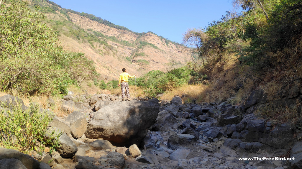
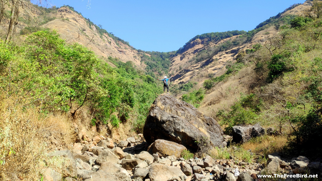
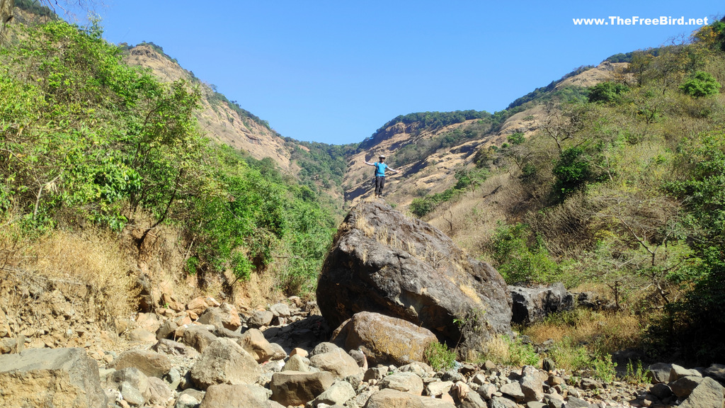
Going ahead we reached a huge rock in the middle of the river bed. This has to be the biggest landmark for the trek. Since there was nothing else to do till now apart from negotiating the route we decided it would be good fun to climb it. The climb really got me excited !
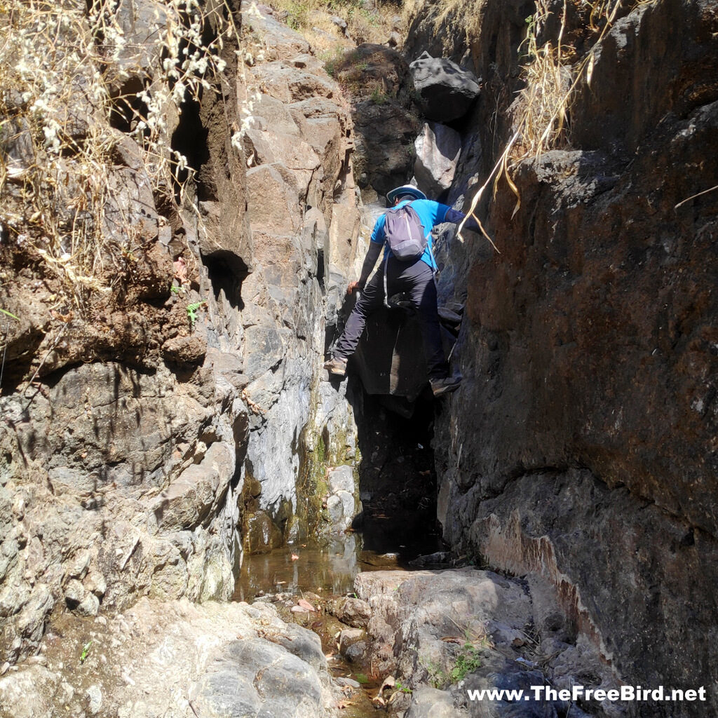
Steep trek begins after we cross this huge rock. The rocks become bigger & much more erratically placed. Looking for the next adrenaline pump we reached a chimney-type formation in the route complete with choke-stone stuck in the middle. As the steepness increased with every step so did the difficulty level.
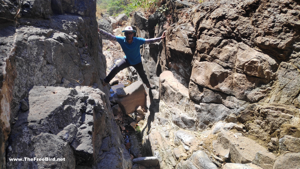
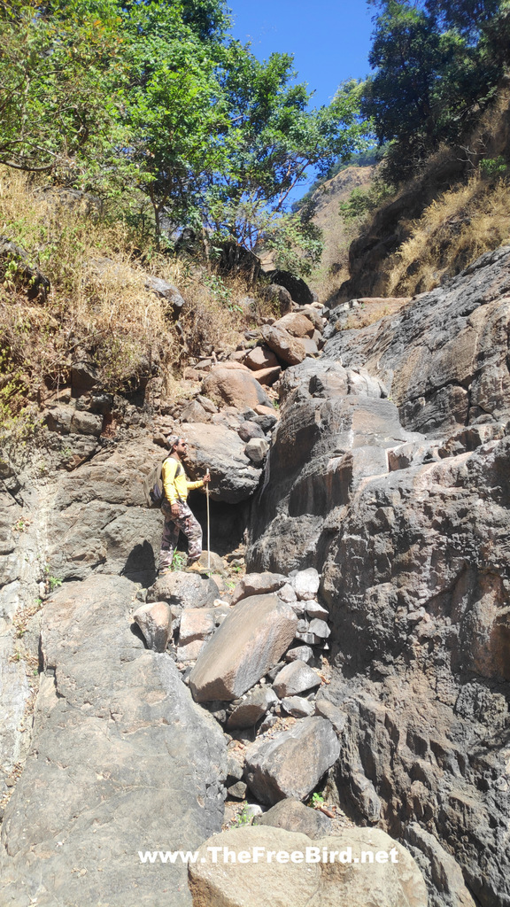
Some places had smaller stones aligned in proper way for an easy climb. Other places we had to think to make way.
Negotiating the steepness becomes difficult after every turn & we were left guessing what to expect after every climb
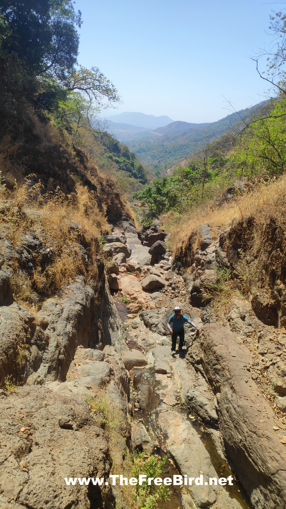
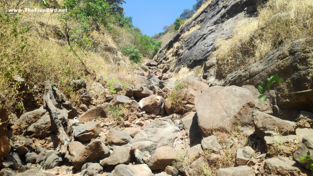
As we moved ahead the rock sizes had become very large. We wanted to cover maximum distance before the sun got hotter. But it had been 3 hours since morning & the trail didnt show any signs of finish line. We were looking for a flat surface under a shadow to have lunch but that was no where to be found , hence had no option but to continue climbing ahead. Looking back it seemed we had walked a lot but still had not covered much distance. Gully climbs are very deceptive.
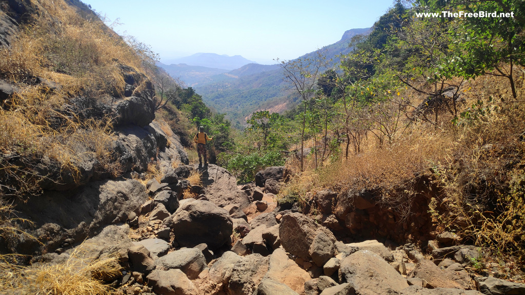
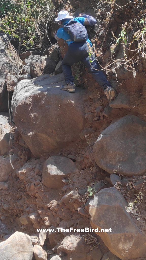
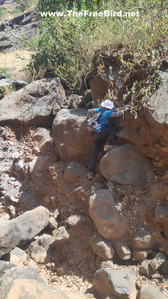
This was the most difficult patch of the entire trek. There was no other by pass visible for this rock climb.
At one spot it felt entire block of soil had eroded leading to a very steep climb. The rocks seemed to be very loosely held and just waiting to fall with little pressure
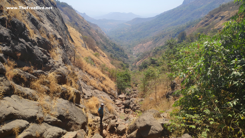
By now we had gained lots of height and about 4 hours into the trek we had finally reached the tree line of Matheran. The top was still not visible but we seemed to have crossed the major rock climbs and what remained was a scramble to the top. Looking at all the shadow and flat surface we decided to have lunch.
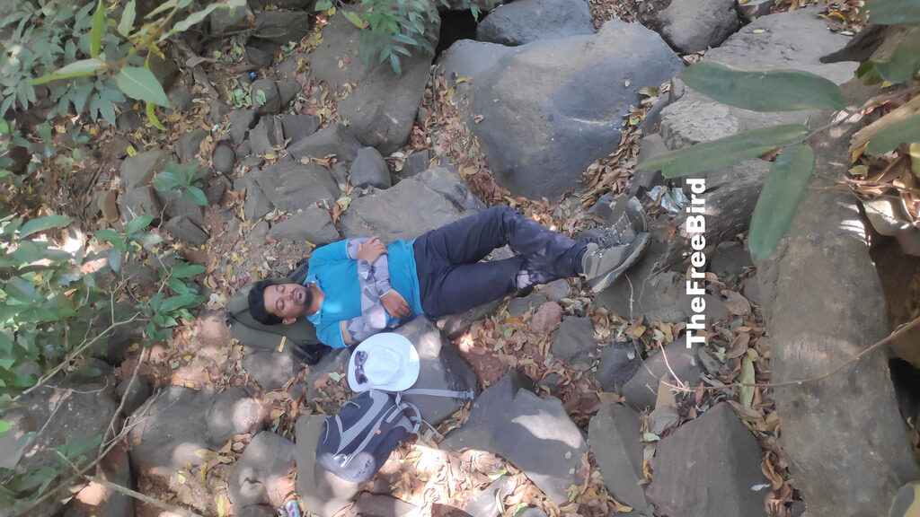
We had carried 4 Litres for both of us but ran out of water and it was only the chimney climb where we had last seen water. The climb is just exhausting and the hot weather doesnt help. After resting for a while we started our way to top which took another hour. As you reach the top many plastic bottles start to appear every now and then. Human beings are stupid.
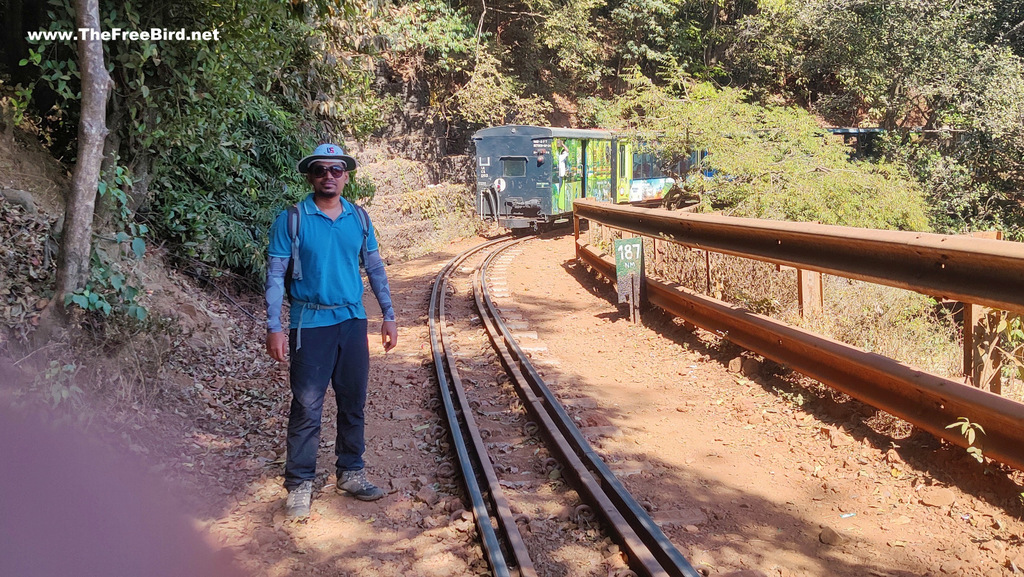
We climbed to the top near 187Nm & were lucky to be welcomed by Matheran toy train. The last section below this trail is another rock patch which though doable some might find very difficult. But there are other traverse to reach the top if the rock patch is not for you. From the top the entire Beatrice cliff / valley was clearly visible.
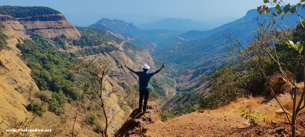
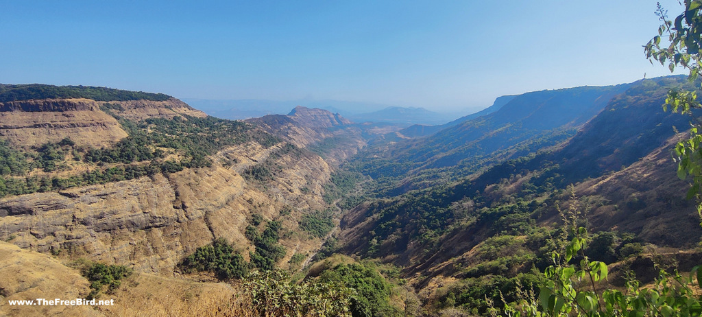
It gave a sense of achievement to having completed the toughest trek in Matheran. I consider these views as my achievement trophy. One can also reach Matheran by car & see the same view but I guarantee you they wont value it as much as we trekkers do. From here one can easily walk to Dasturi Naka to take a taxi home. But we had to head back to Katwan for my bike.
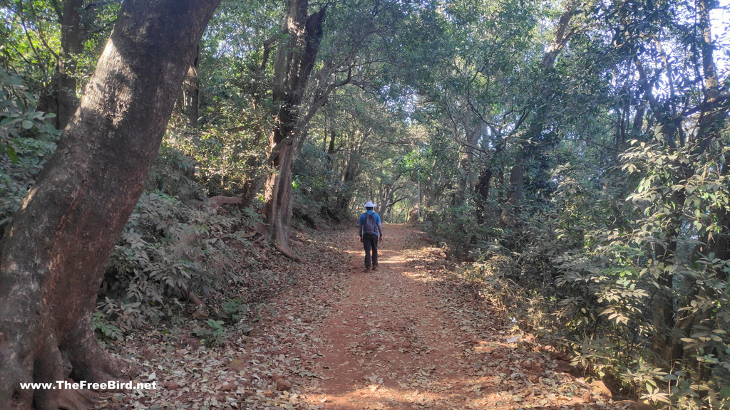
We walked through the Matheran market to reach Alexander point for descend. Enroute we visited Myra Point, Madhavji Point & Khandala point. These points have beautiful view of our entire trek. We reached Alexander point and waited for sun to go down a bit before descend.
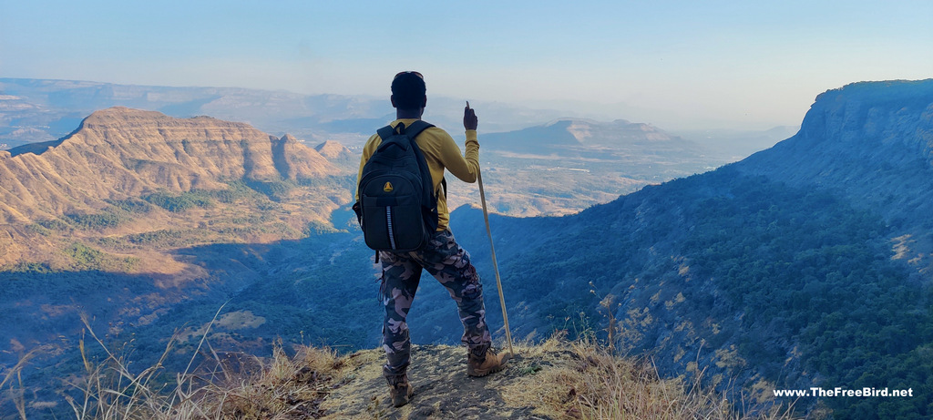
Alexander point descend provided us with beautiful views. We reached Katwan in an hour, got on my bike and headed home .
Bye !!
That’s it for the Beatrice Cliff trek blog.
If you have any doubts add a comment at the end of this post or reach out to me on my social media channels(at the end of this page). I also create ambience sahyadri videos on youtube.

TREKS NEAR MUMBAI & PUNE
expand for individual treks +
Waterfalls
Easy treks near mumbai- pune
Easy treks near Lonavala
Treks near kasara & nashik
Treks near Malshej
Konkan sea forts
Difficult treks
Offbeat
Matheran trekking routes from:
If you have been trekking in sahyadris for a long time , upgrade your skills to climb Himalayas by training for mountaineering which includes rock climbing, ice climbing and all adrenaline pumping adventures we love. Here is a short intro for moving from trekking to mountaineering
SOULFUL TRAVELS
 TheFreeBird


yesterday we went for the Madhvji Point trek and the latest update is Tar road camp till Katwan
Road till Katwan…that’s great news . Thanks
Hi
Do you have any GPS ( GPX ) files for this Beatrice Cliff Trek?
Hello Sanjay, I don’t have any gpx. I feel finding my way with simpler references like photos much more adventurous. You can find the gpx on wikiloc.