Niraj which is the most unique waterfall you have seen ? You might have known about 1200 ft Kalu waterfall near Malshej ghat which looks majestic from top but have you seen it from bottom, from the God’s valley. The majestic waterfall cascades over four huge drops giving a spectacular view just like the Bahubali movie waterfall. In this Kalu waterfall trek blog you will find all the information to plan this God valley trek by yourself. You will find similar waterfalls and other things to do near Malshej ghat at the end of this blog
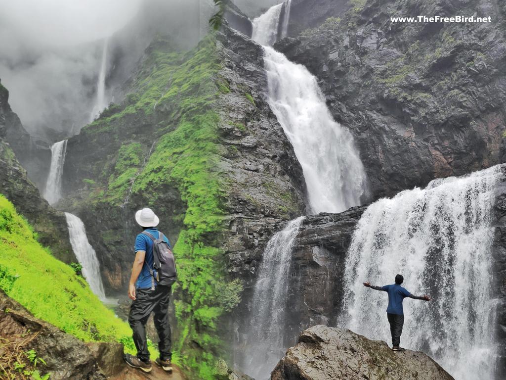
Is Kalu waterfall Trek difficult for beginners ?
Niraj, how difficult is Kalu waterfall trek for beginners? Kalu river originates in Harishchandragad and flows over Deccan plateau to fall in Konkan’s God valley this resulting Kalu waterfall can be seen from top ( Deccan side ) and reached from bottom ( Konkan side ). The top view point is a simple 40-60 minute flat walk from near Khireshwar village which is beginner friendly while the bottom part in God’s valley is a medium level trek with risk of the water level rising when it rains at the top.
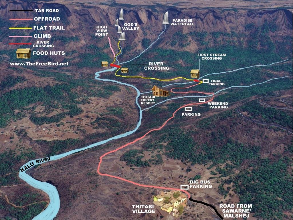
Gods valley trek needs one to cross two water streams and walk by a the river to reach the bottom of the Kalu waterfall. Out of these two stream crossing the first one is smaller and can be crossed even when it rains heavily by forming a human chain with fellow trekkers. However the second crossing of the actual Kalu river is quite big which can be easily crossed when it is not raining heavily. When it rains heavily locals tie a rope or zipline here to cross the river charging Rs 100 per person which I believe is quite reasonable and safe.
However make sure to not carry anything on trek which you dont want to get wet. Make sure to carry waterproof mobile covers to protect it. You can find such covers in my trek gear
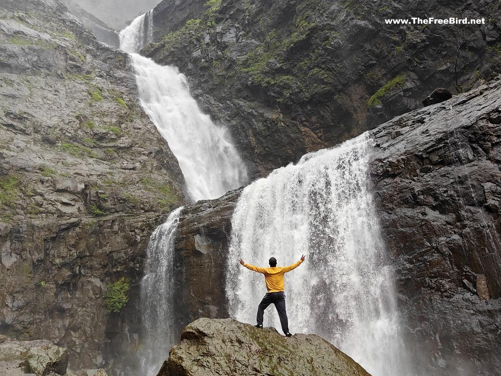
How long is the Kalu waterfall God valley trek ?
How much time does it take to complete Kalu waterfall trek ? Kalu waterfall view point from Khireshwar takes about 60 minutes of flat walking while the Gods valley trek to the bottom involves walking 6kms from Tithabi base village and can take about 2hrs to reach the bottom of the waterfall. Depending on the day and your vehicle you can take it much further ahead from Thitabi village to reduce walking time on the rough road.
What is the best time for Kalu waterfall Trek ?
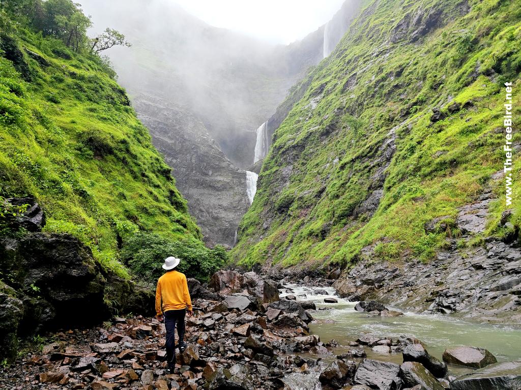
Kalu waterfall is a seasonal monsoon waterfall from June end to Sept end. The top view point from Khireshwar is easy to reach any time. However the God valley route accessibility is greatly impacted by rain conditions. If it rains too heavily you cannot reach the exact bottom of the waterfall as the route ( in below pic) gets submerged by the river but you can still reach a view point by a small climb to enjoy the Kalu waterfall view from a bit far which is equally appealing. If you want to reach the bottom of the waterfall only way is to reach here at the start or end of monsoon or time your visit such that it has not rained heavily for atleast the last 2 days.
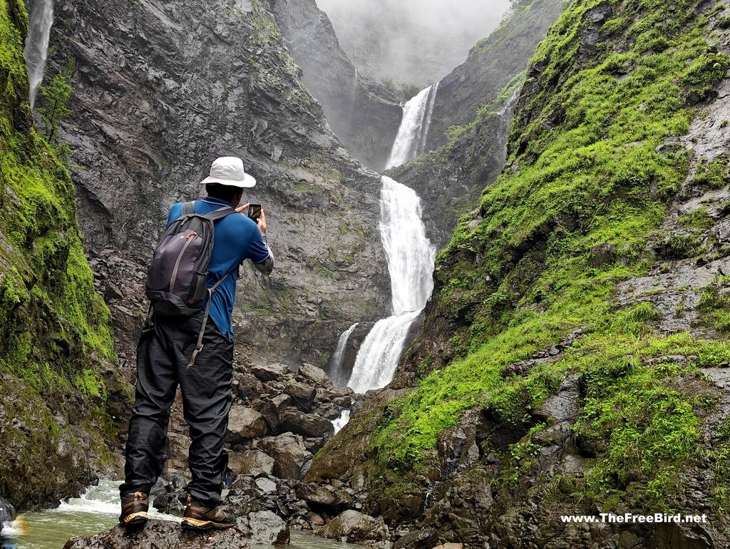
Where can we stay for God valley trek ?
For the top part you can stay at the many options available at Khireshwar & Malshej ghat. For the God valley trek you can get stay options in the base village of Thitabi . Also there is a Thitabi forest resort which lies on the trek route itself. Changing rooms can be found in Thitabi village. The God valley trek has become very popular and as such food huts have cropped up throughout the trek route even on weekdays.
How to reach Kalu waterfall God valley trek from Mumbai & Pune?
Kalu waterfall lies near the Malshej ghat. The top view point is near the Malshej ghat starting point near Junnar side, while the bottom part i.e. God valley lies near the other end of the Malshej ghat near Kalyan / Mumbai side . Bottom line is if you are using public transport take any vehicle reaching Malshej ghat
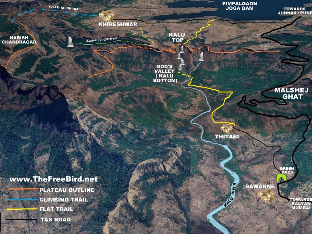
Kalu waterfall top view point: The starting point lies near Khireshwar village which is base of Harischandragad & Aadrai jungle trek. To reach here by public transport from Mumbai first reach Kalyan railway station & move to the bus station near by & take any bus going towards Alephata via Malshej ghat and get down at Khubi phata & walk 3.5 kms to reach the viewpoint trail starting point. From Pune take any bus Alephata & then take another bus going to Kalyan via Malshej ghat & get down at Khubi phata & walk 3.5 kms to reach the viewpoint trail starting point. From here another 3 kms to the viewpoint. Best idea would be take your personal vechile all the way. Bikes can even reach directly till the top of waterfall by offroading.
Kalu waterfall God’s valley trek: The base village is Tithabi village in Malshej region. To reach here by public transport from Mumbai first reach Kalyan railway station & move to the bus station near by & take any bus going towards Alephata via Malshej ghat and get down at Sawarne village & walk two kms to reach the Tithabi village. From Pune take any bus Alephata & then take another bus going to Kalyan via Malshej ghat & get down at Sawarne village & walk two kms to reach the Tithabi village. From Tithabi its another 6 kms to the base of waterfall . If you have personal vehicle you can take it much ahead of the Tithabi village to park it in any of the parking lots available and continue walking ahead.
Kalu waterfall god valley trek blog: TheFreeBird’s story
Since the time I had first seen Kalu waterfall more specifically Gods valley I wanted to be here. And when it started raining I reached here on the first possible weekday avoiding the heavy weekend crowds. By my research Tues, Wed &Thursday mornings have lesser crowds, weekends is a heavy rush day with atleast 5K people visiting through the day meaning people would appear in all your photos. With that in mind I started at 4am on my bike and reached here by 630am. The road for Tithabi village bifurcates from Malshej ghat road near Sawarne village where we have this nameless green arch welcoming to the Kalu waterfall base village of Tithabi
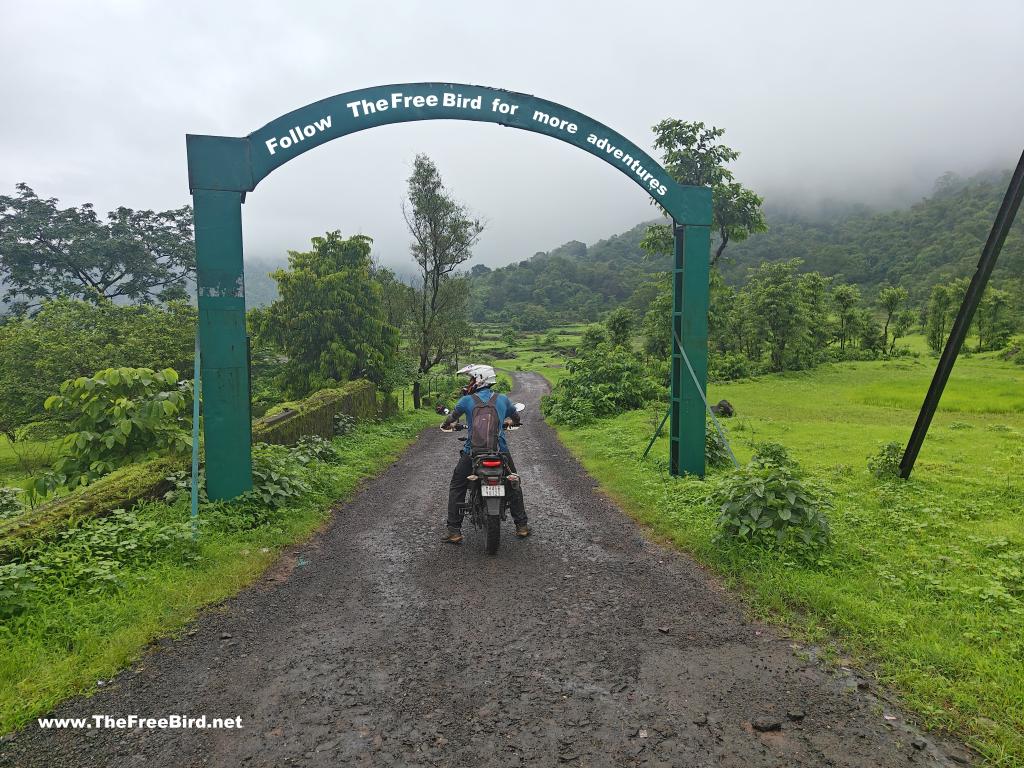
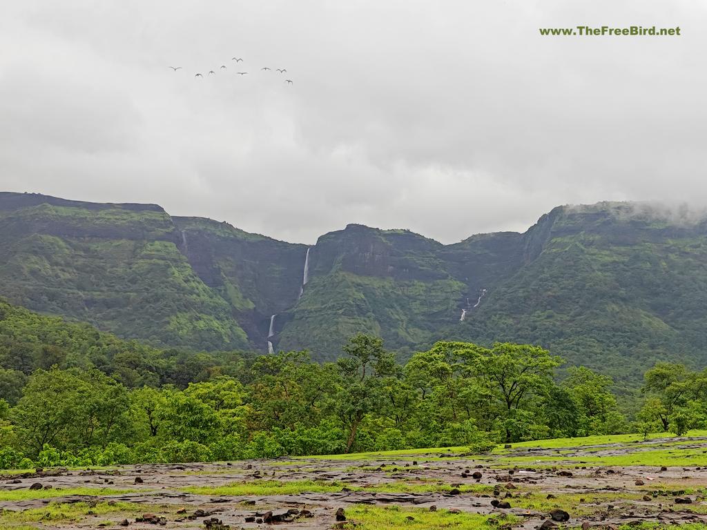
From the green arch , Tithabi village is 2 kms and from there we have a off road of 5kms. Having a adventure bike I decided to take it all the way possible to save time as I had other trek plans for the second half of the day and also I wanted to beat the crowd which I had already seen walking towards Gods valley. Sooner the waterfall became visible after the clouds cleared. As we continued on the muddy trail it was almost 3-4 kms from Tithabi village when I reached this unpassable water stream. I parked my bike here and headed through the stream.
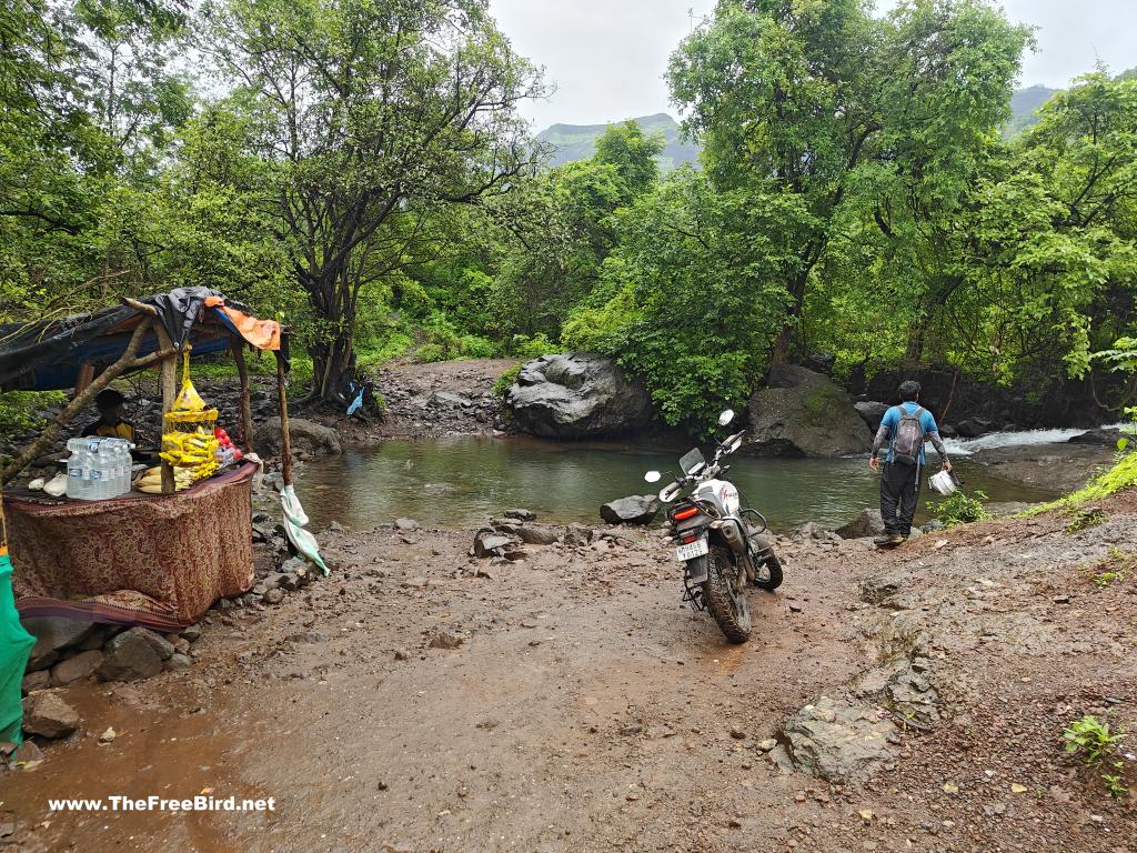
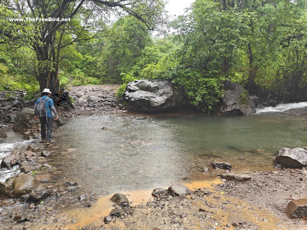
It had not rained for 2 days as such the water flow was almost non existent. When it rains heavily water level rises and a rope or a human chain is required to cross it safely. Less water made me happy as I had more chances of reaching the base of Kalu waterfall. The trail then passes over a huge plateau and forest canopy for about 30minutes to emerge near waterfalls Kalu & Paradise ( Mahuli ).
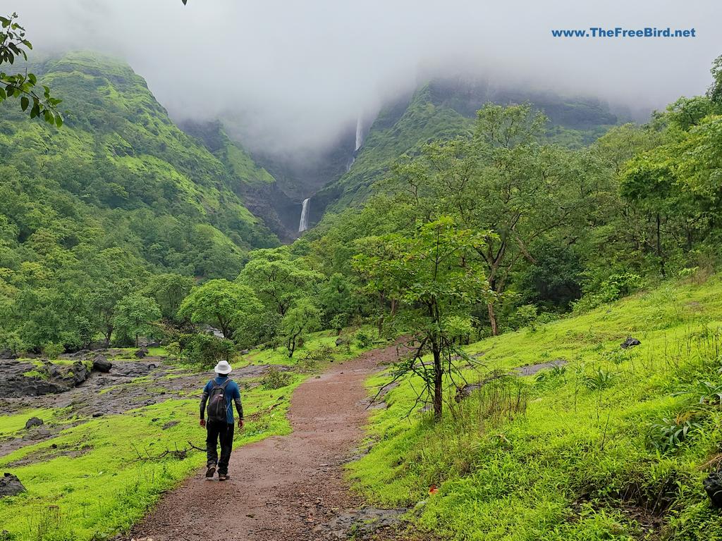
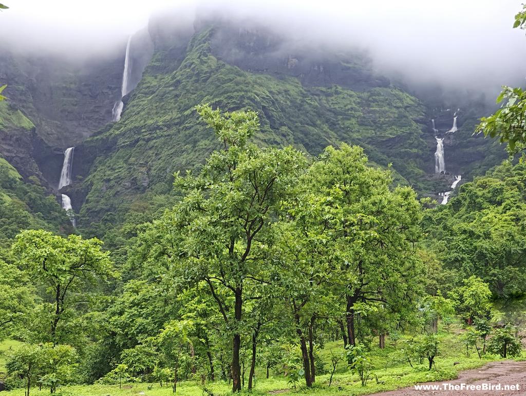
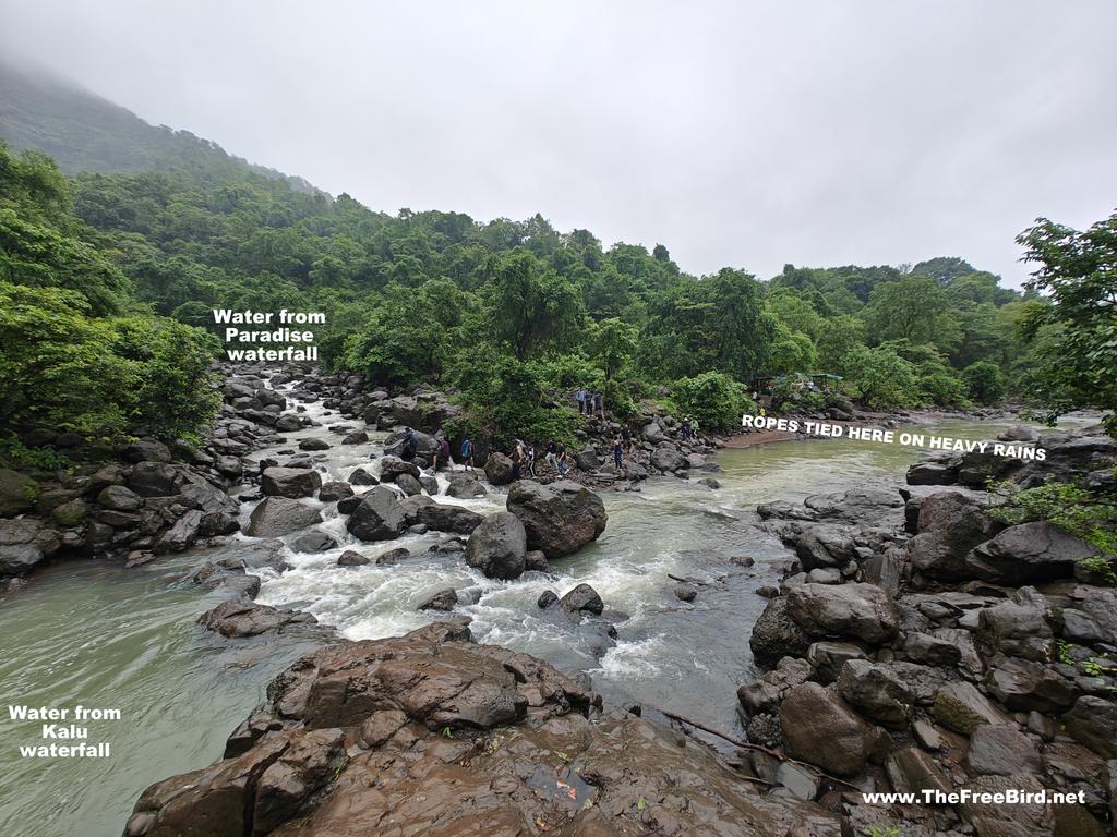
Water from from both these waterfalls combine to form the mighty Kalu river. As we reached near this river it became apparent that it would be impossible to cross it on a heavy rain day. I reached this confluence and could see many semi-submerged stones which I could use to cross the river while staying dry. When it rains heavily locals tie ropes & zipline here to take you across for Rs 100. Earlier ropes were tied to a person and he was pulled on other side through the river but now ziplines are set up which take you across completely dry. Since it didnt rain for 2 days I was able to save that 100 as I made my way over the stones.
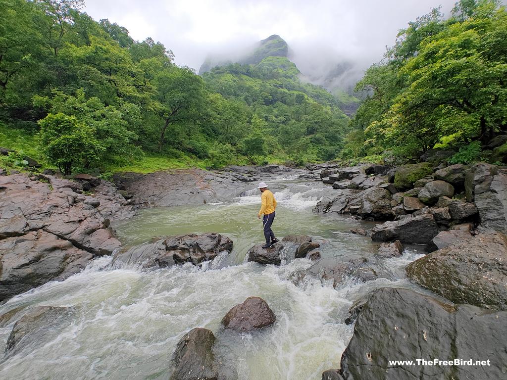
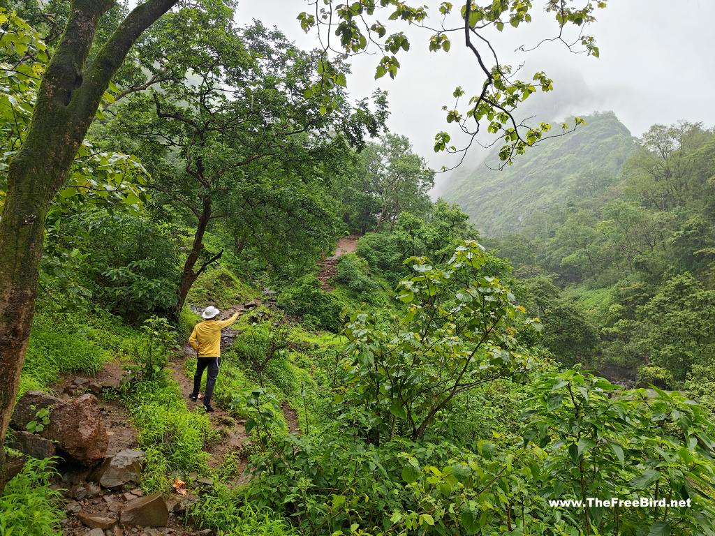
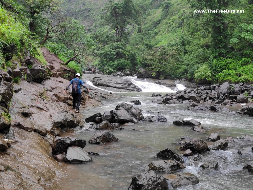
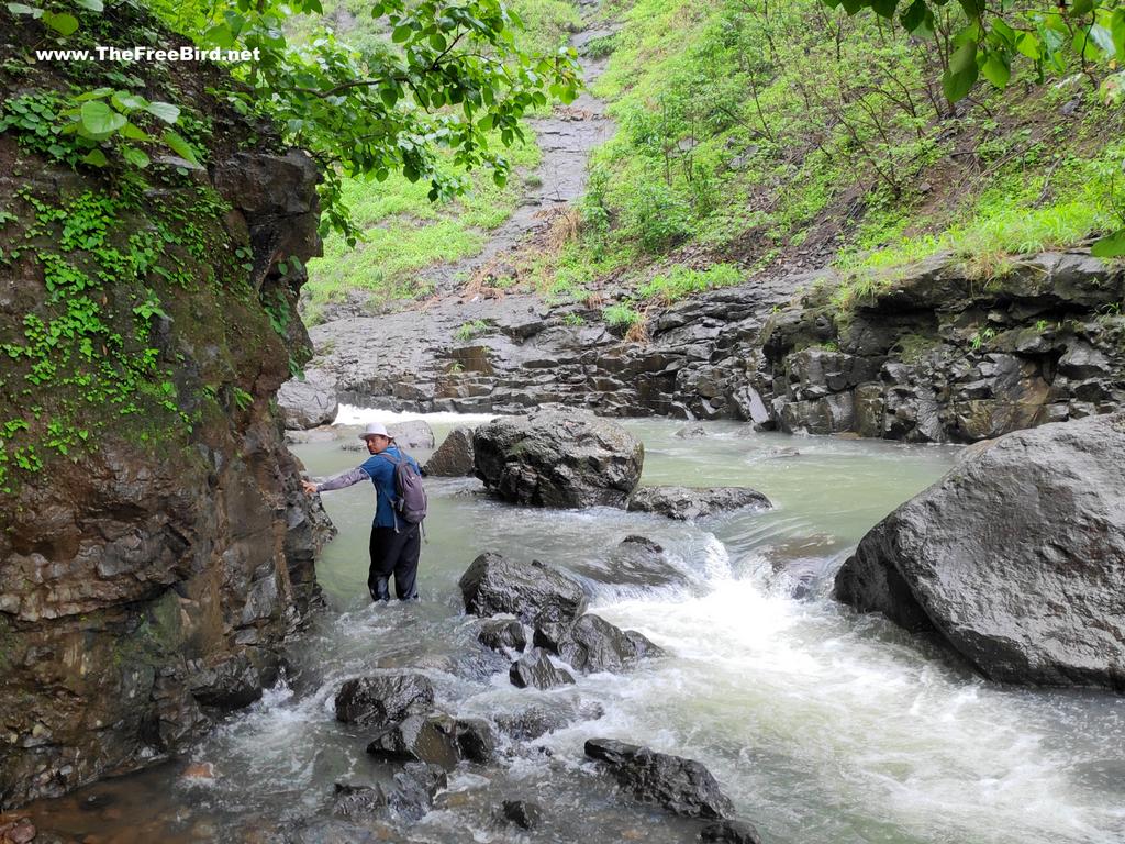
Once across, the trail passes by the river side to reach the base of Kalu waterfall. At places where the water is too deep a parallel trail in the hill is present which helps to bypass the deeper sections. Whenever possible we took the drier route as we didnt want to get wet before the actual waterfall. Climbing on a high trail and getting down to river trail continued till we reach a decisive point of trek.
WHEN RIVER FLOW IS TOO STRONG
At a point the trail bifurcates one going up a high view point and other continues on the same trail by the river. When it rains heavily its not possible to go ahead as the route ahead passes through the river bed which gets increasingly narrow and too deep with the increasing water levels. Today the river trail route seemed doable but we still climbed higher to the View point to enjoy the view which one gets when they cant go any further.
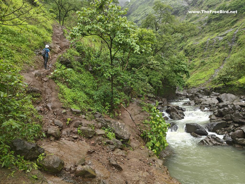
When it rains heavily the entire Gods valley trek is relegated to just this part of the trek. This short view point trail is steep and passes by a waterfall to a point when Kalu waterfall become visible in all its glory
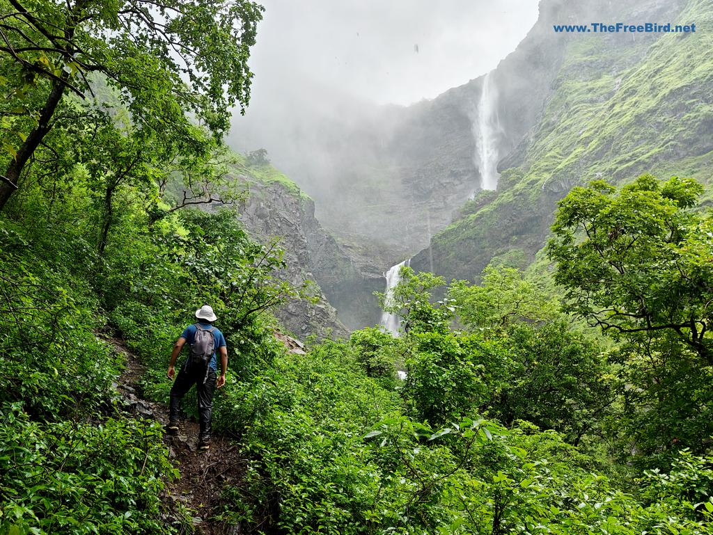
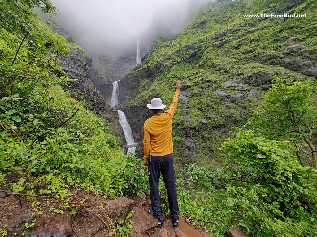
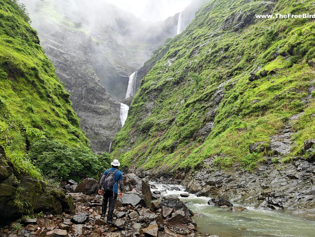
Kalu waterfall slithering to the bottom over 4 drops seems to be a out of this world animation. The top part which is in clouds is the tallest of them but appears shorter since it the farthest away. I took many photos here as Kalu emerged and disappeared in clouds. Had this been a rainy day this would have been the end of the trek , but my timing was great as less water meant I can reach the base of the waterfall. We descended quickly to reach the river bank.
WHEN RIVER FLOW IS NORMAL
Back at the river trail I continued towards the Kalu waterfall. When it rains heavily the water appears too muddy is when you dont take this trail. Also even if the water is clear like below but rises above your knee level dont take any risks to go ahead. As you may go ahead but a slight increase in water level would mean you wont be able to come back by the same route getting stuck.
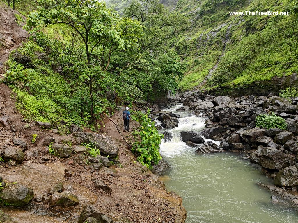
On the other side , Kalu waterfall become partially visible . As it emerges from the clouds it feels like its actually being poured from the clouds itself. I have never seen such a spectacular waterfall neither in person nor on internet. God valley just blew my mind as I went click happy to capture some 5Gbs of photos and videos.
BRO TIP:
At any point if you can see heavy raining or dark clouds visible on the Deccan side , it would be a signal to start your return journey as if it starts raining heavily water level would start to rise here after a while as it takes time for water to accumulate & the waterfall to start showing its fierce form. Never ignore what locals say.
TheFreeBird
Walking ahead we crossed through the stream a few more time to finally reach the base of the waterfall from where only the bottom three levels of the waterfall are visible and realised how huge the waterfall actually is
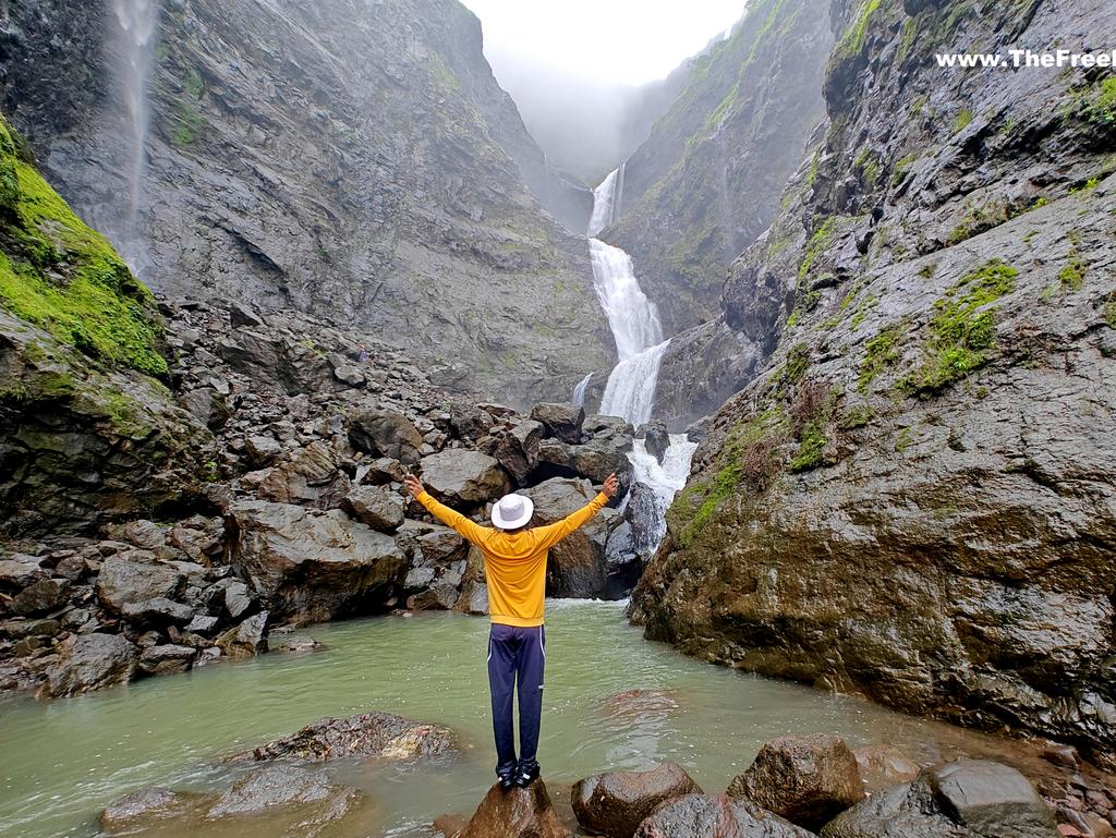
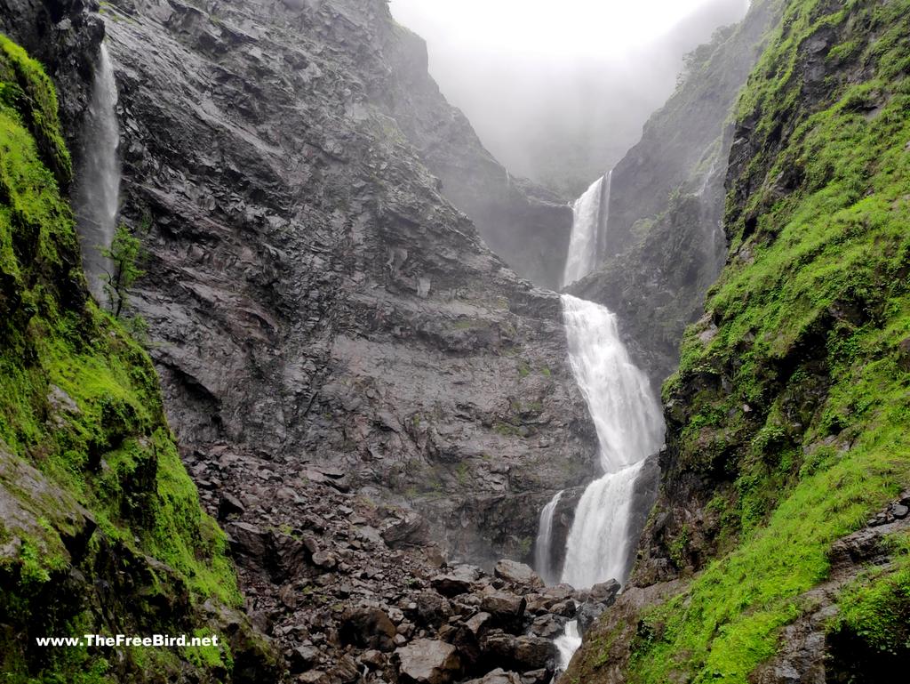
The bottom levels of waterfall are the shortest but they appear so huge that I could only wonder the height of the uppper levels. We had a choice to return from here or swim through the river & climb the rocks to reach even closer to the fall. No points in guessing what I did next.
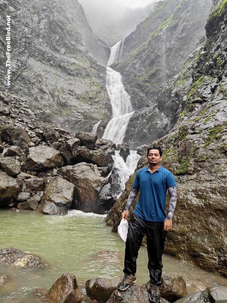
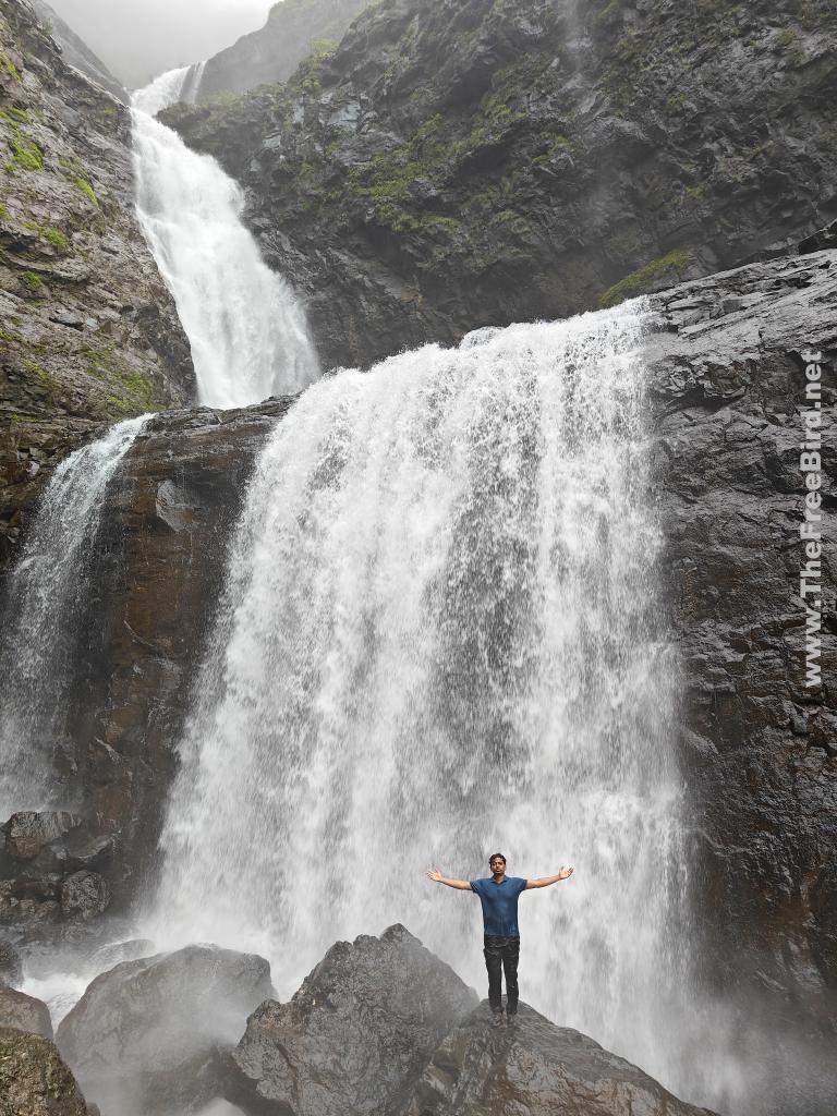
I could feel the strength of the waterfall standing that close to it. We spend a lot of time here just looking at this mighty beauty and thinking how small it makes us look in the scheme of things. The peace of this place was unmatched till about a bus- load of people started to approach it which was my cue to go back. We took the same route back , had some boiled maize in one of the food huts , reached my bike and headed for Malshej ghat.
Bye !!
Thats it for the Kalu waterfall god valley trek blog.
If you have any doubts add a comment at the end of this post or reach out to me on my social media channels(at the end of this page). I also create ambience sahyadri videos on youtube.

TREKS NEAR MUMBAI & PUNE
expand for individual treks +
Waterfalls
Easy treks near mumbai- pune
Easy treks near Lonavala
Treks near kasara & nashik
Treks near Malshej
Konkan sea forts
Difficult treks
Offbeat
Matheran trekking routes from:
If you have been trekking in sahyadris for a long time , upgrade your skills to climb Himalayas by training for mountaineering which includes rock climbing, ice climbing and all adrenaline pumping adventures we love. Here is a short intro for moving from trekking to mountaineering
SOULFUL TRAVELS
 TheFreeBird

